Dolomites
Walk Piz Boè in your browser
Preview. The highest peak of the Sella group, 3152 m: trails, scree, Capanna Fassa on the summit and the view over the Dolomites.
Free. It runs in the browser on a phone or a computer, nothing to install.
What is there
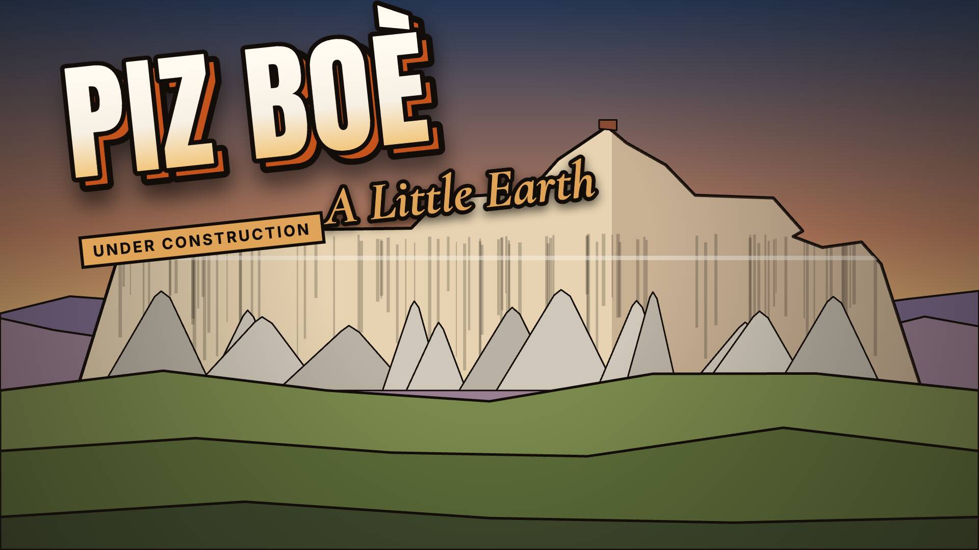
Piz Boè, 3152 m, the highest peak of the Sella group: trails over scree and easy rock, Capanna Fassa on the summit and the view over the Dolomites. The terrain comes from open digital elevation models, the trails from OpenStreetMap; light, sky and sounds are generated in code.
What you can walk to
- The summit, 3152 m
- Capanna Fassa
- The Sella group
- The view over the Dolomites
Getting around
On foot, on the trails over scree and rock. WASD walks, Shift runs and M opens the map. Cars, motorbikes and buses keep to the pass roads below. On a phone it all works by touch.
Time of day
T moves the clock on by an hour, from morning to evening. Up here it is late summer.
Other people
If someone else is walking Piz Boè at the same moment, you see them, and they see you. You can switch multiplayer off.
How it is made
Painted low-poly, built from open data:
- OpenStreetMap
- LiDAR DTM/DSM Provincia Autonoma di Trento 2014
- DTM 2,5 m Provincia Autonoma di Bolzano
- TINITALY 1.1 (INGV)
- Copernicus DEM GLO-90
- ESA WorldCover 2021 v200
The painted look, the light and the sky are made in code. Data credits and licences
More places






On the way: Cervia, Cesenatico, Ravenna